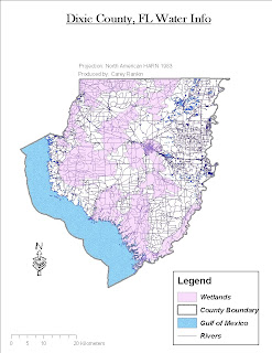
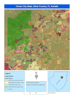
Here are three maps produced for week 5. One map displays wetlands as the main theme, another displays streets, aerials, and landuse, and the third is a combination of an overlaying DEM and DRG dataset.
I had the most trouble with the DEM and DRG raster layers. I couldn't get to match up when using the same projection/coordinate system.


Hey Carey,
ReplyDeleteThe scale bars still seem of on these maps.