Wednesday, February 24, 2010

Week 7 Lab


Here's my map for lab 7. I don't think I ran into any problems with this activity, although I was not sure what to correct from the blue dots from the lab instructions. My building boundaries look accurate, so I wasn't sure if I was supposed to delete one of those of shift them. Besides that, it was a great lab!

Sunday, February 21, 2010

Week 6 Raster Georeferencing (CR)


Attached is the map for lab 5/week 6. I really enjoyed this lab. I never knew how to georeference and now I have a thorough understanding of it. The main issue I had was with the scale bar/scale text. I do not believe my scale came out correctly.

Wednesday, February 17, 2010

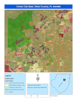
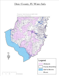
Here are three maps produced for week 5. One map displays wetlands as the main theme, another displays streets, aerials, and landuse, and the third is a combination of an overlaying DEM and DRG dataset.

I had the most trouble with the DEM and DRG raster layers. I couldn't get to match up when using the same projection/coordinate system.


Thursday, February 4, 2010

Week 4 map with three different projection types.